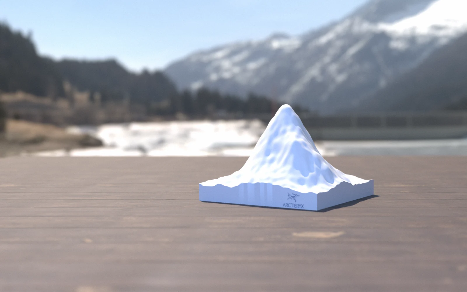
The day, shown as the mountain.
A weather app for one climb, in Arc’teryx’s own technical language: layers with defined roles, base, midlayer and hardshell. The terrain is rendered live and relit by the sun’s computed position for the date as you drag through the hours.
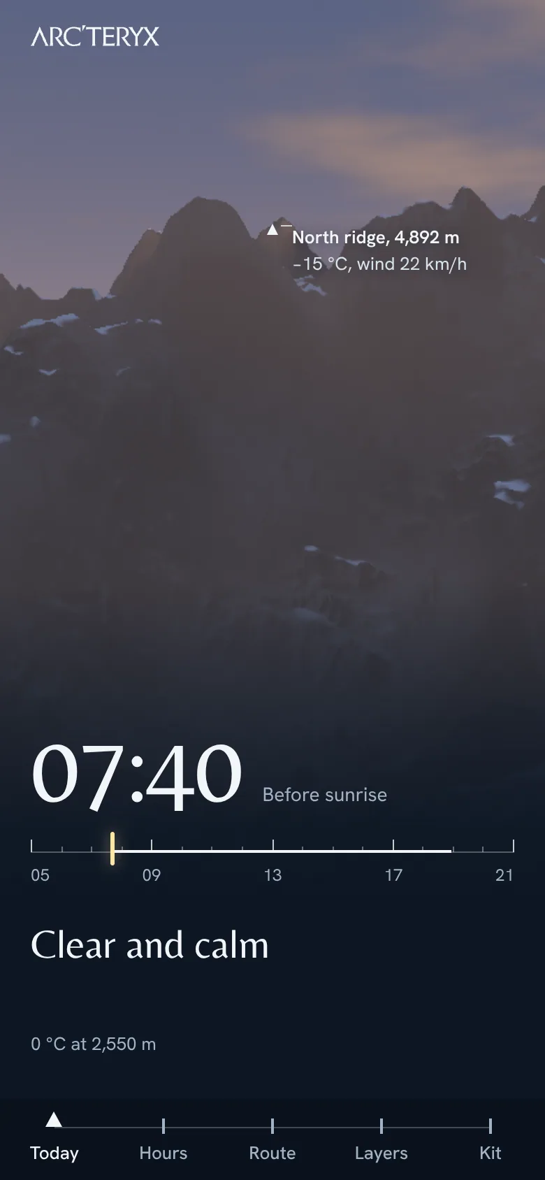
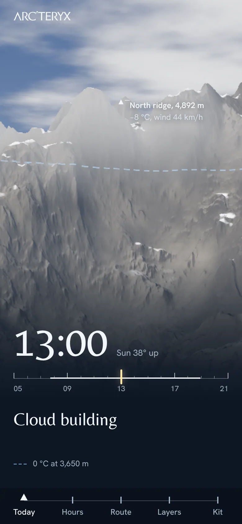
From the trailhead to the summit.
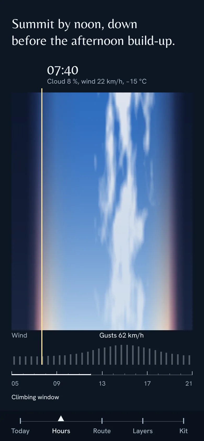
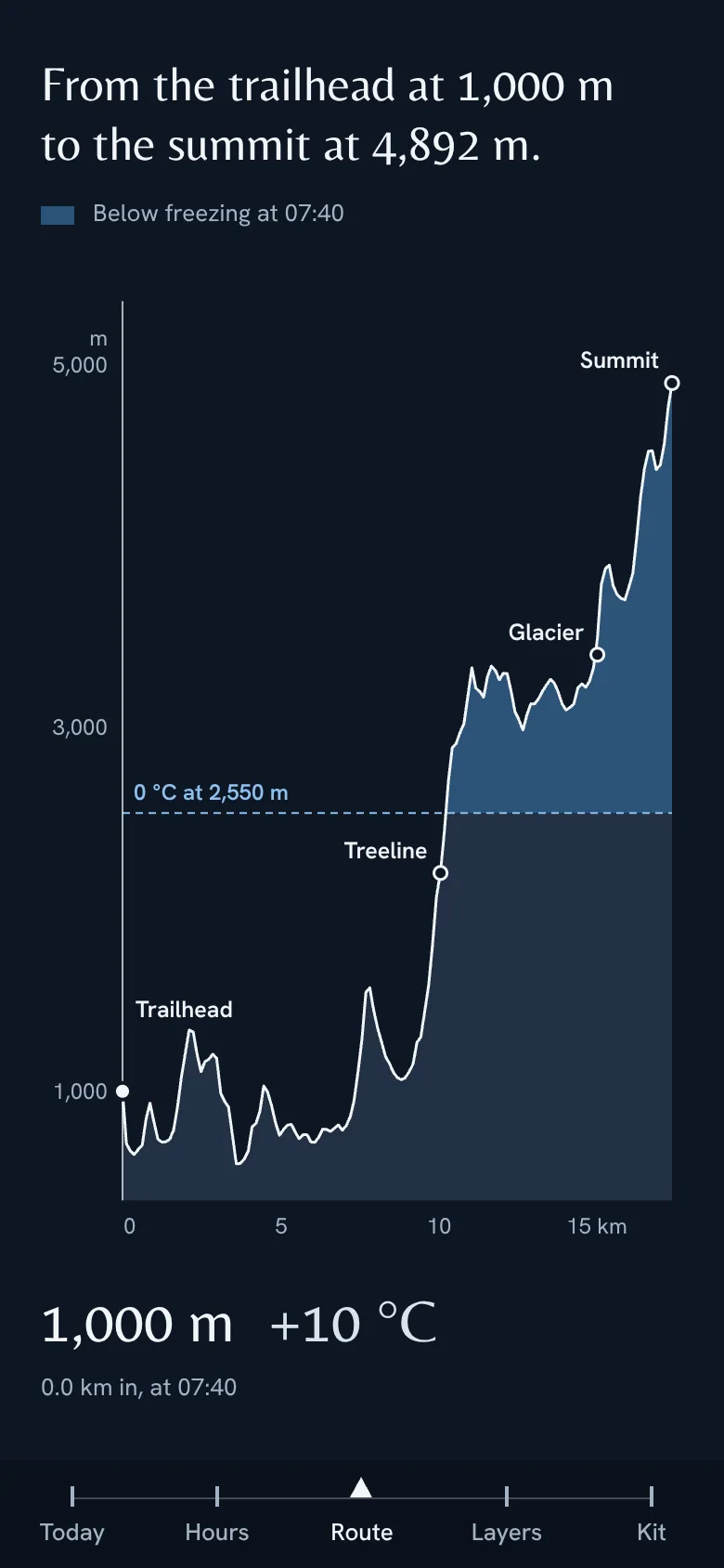
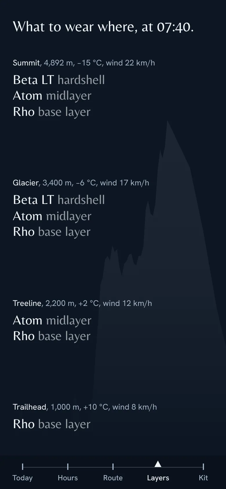
Hours shows the sky over the summit from 05:00 to 21:00 as one strip, with the wind beneath. Route shades the part of the climb below freezing, and Layers turns temperature by altitude into what to wear where.
The navigation is the trail.
Five stops on a trail, with a peak marker on the current one. Belleza and Hanken Grotesk. The terrain comes from a procedural WebGL shader.
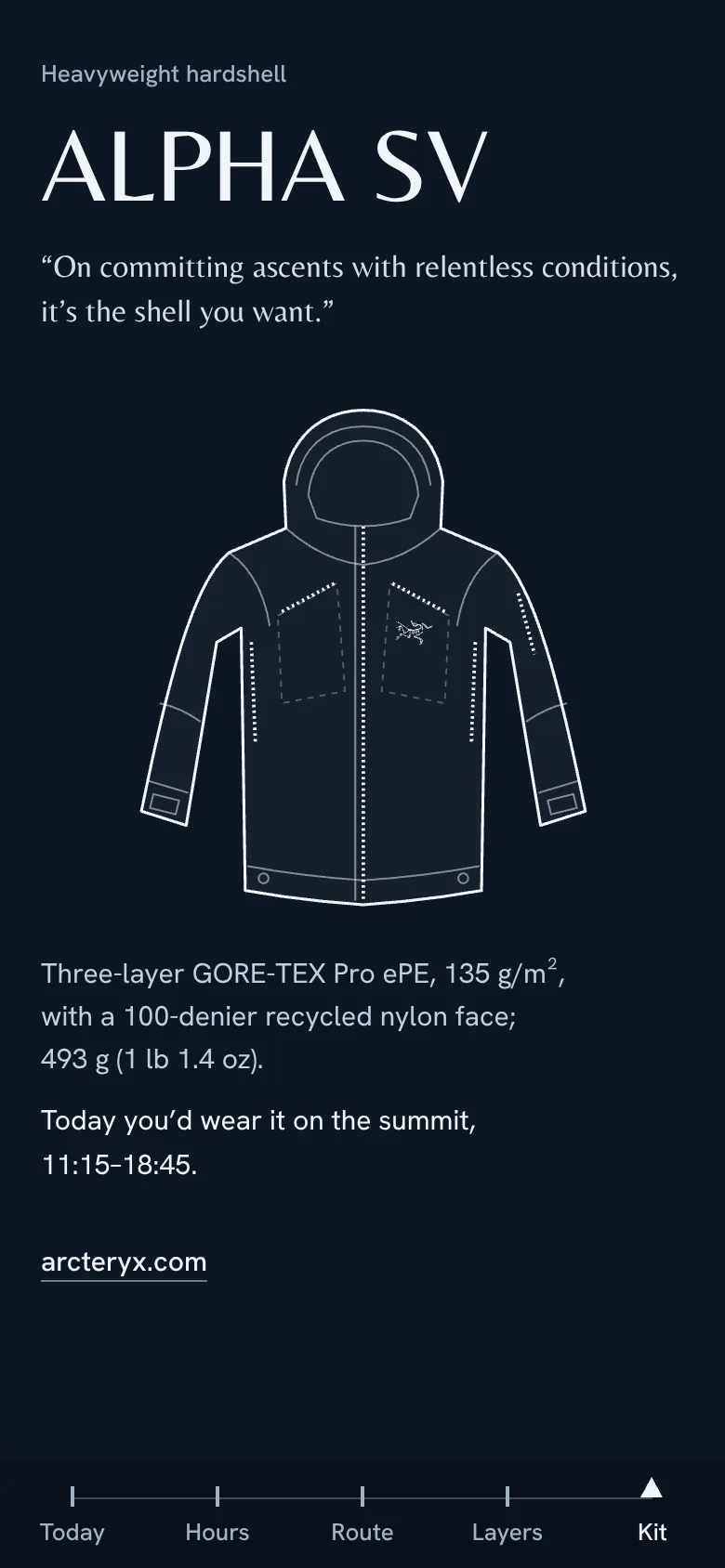
Not affiliated with or endorsed by Arc’teryx. The terrain is procedural, not a real mountain; the forecast is a sample; the kit rule is illustrative, not Arc’teryx advice. Sources: the REI listing for the Alpha SV; “Layering Clothes Like a Pro” on arcteryx.com.